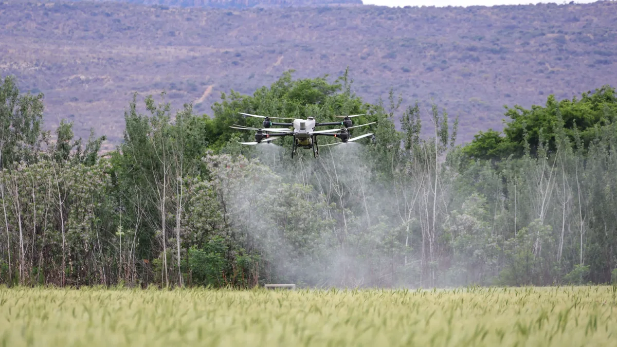
Public Safety And Agricultural Drone Operations
| Primary regulatory framework | FAA Part 107 (United States) and equivalent national aviation authority rules |
|---|---|
| Typical operational altitude | Below 400 feet above ground level (AGL) |
| Common sensor payloads | Multispectral cameras, thermal imagers, standard RGB cameras |
| Key operational constraints | Visual line of sight (VLOS) or beyond visual line of sight (BVLOS) with waiver |
| Primary agricultural applications | Crop health monitoring, field mapping, precision spraying |
| Original use | Aerial photography and surveillance, adapted for civilian and commercial use |
| First created | 2000s (decade) |
Origin and history
The integration of drones into public safety and agriculture is a development of the early 21st century, originating from global technological advancements rather than a single country. The foundational technology for unmanned aerial vehicles (UAVs) has military origins, but their application to civilian sectors accelerated in the 2010s. Regulatory frameworks, particularly in the United States and Europe, began evolving in that decade to accommodate and govern non-recreational drone use. The convergence of improved battery life, miniaturized sensors, and reliable GPS enabled practical applications beyond hobbyist flying. Agricultural adoption was pioneered in Japan for crop spraying in the 1980s, but widespread use with multi-spectral imaging emerged later. Public safety agencies began experimenting with drones for search and rescue and firefighting in the 2000s, with operational use becoming more common in the following decade.
What it is for
This operational domain exists to leverage unmanned aircraft for high-risk, repetitive, or precision tasks that are inefficient, dangerous, or impossible for manned aviation or ground crews. In agriculture, its primary functions include crop health monitoring via multispectral imagery, precise application of pesticides or fertilizers, and irrigation system inspection. For public safety, core uses are search and rescue operations over large or hazardous areas, structural assessment of disaster zones, wildfire mapping and hotspot detection, and evidence collection at crime scenes. It serves to enhance situational awareness for first responders while reducing their exposure to immediate danger. The system also aims to provide economic efficiency by performing tasks at a lower operational cost than traditional methods. Furthermore, it generates highly detailed geospatial data that supports better decision-making in both food production and emergency management.
Overview
Public Safety and Agricultural Drone Operations constitute a specialized segment of the broader aviation system, operating under specific regulatory permissions outside standard manned flight rules. These operations involve remotely piloted aircraft systems (RPAS), which include the drone itself, the control station, and the communication link between them. They are integrated into the national airspace system through mechanisms like controlled airspace authorizations, often requiring pre-coordination with air traffic control (ATC). The operational ecosystem includes certified remote pilots, approved aircraft models, mission planning software, and data analytics platforms for processing captured imagery. Flight activities are typically confined to lower altitudes, often below 400 feet above ground level, and within visual line of sight, though beyond visual line of sight (BVLOS) operations are expanding. The entire framework is underpinned by a philosophy of risk-based regulation, aiming to achieve safety levels equivalent to manned aviation.
What to know
A fundamental requirement is that all commercial and governmental drone operations require the remote pilot to hold a relevant certificate or license, such as the FAA Part 107 certificate in the United States. Operations in controlled airspace near airports necessitate prior authorization, usually obtained via an online portal like the FAA's Low Altitude Authorization and Notification Capability (LAANC). Insurance is a critical, often mandatory, component for liability coverage in case of property damage or injury. The choice of sensor payload, such as visual, thermal, or multispectral cameras, is dictated by the specific mission objective and significantly impacts cost and data output. Data management and privacy laws, especially concerning flights over private property or the collection of imagery, impose additional legal responsibilities on operators. Understanding local and state regulations is essential, as they can impose further restrictions beyond federal aviation rules, particularly for law enforcement use.
Common questions
A frequent inquiry concerns the legality of flying a drone over private property, which involves complex intersections of federal airspace law and state-based property rights. Many ask about the maximum allowable altitude, which is generally 400 feet above ground level in many jurisdictions unless operating near a structure. People often question what happens if a drone loses its communication link, which typically triggers a pre-programmed lost link procedure, such as a return-to-home function. A common operational question is how long drones can fly, with flight times for most commercial models ranging from 20 to 40 minutes on a single battery charge. Users regularly seek clarification on the difference between recreational and commercial flight rules, which are governed by separate regulatory frameworks with different requirements. Another typical question involves the process for obtaining permission to fly beyond the pilot's visual line of sight, which is a complex waiver process requiring a detailed safety case.
Pros and cons
A significant advantage is the drastic reduction in risk to human life, as drones can inspect unstable structures, map active wildfires, or survey toxic fields without endangering personnel. They also offer superior data granularity and cost-effectiveness for tasks like crop scouting compared to satellite imagery or manned aircraft. However, a major con is the operational fragility due to limited battery endurance and vulnerability to adverse weather, which can abruptly cancel or curtail missions. The regulatory landscape, while maturing, remains complex and fragmented, creating a steep administrative burden for operators seeking advanced permissions. A common mistake is underestimating the time and expertise required for data processing and analysis, turning raw imagery into actionable intelligence. Operators often regret choosing platforms based solely on aircraft specifications without considering the robustness of the software ecosystem for flight planning and data analytics.
Who it suits
This field suits agricultural consultants and large-scale farming operations seeking to implement precision agriculture techniques to optimize inputs and increase yields. It is ideal for public safety agencies, including fire departments, law enforcement, and search and rescue teams, that require enhanced aerial reconnaissance capabilities. Civil engineering and infrastructure inspection firms benefit from using drones for assessing bridges, power lines, and solar farms. The work suits individuals with a strong aptitude for both technology and regulatory compliance, as operational success hinges on meticulous planning and adherence to rules. It is less suited for those seeking simple, immediate deployment, as mission success depends on pre-flight checks, airspace coordination, and post-flight data work. Organizations with the capacity to invest in training, certified personnel, and a fleet of appropriate sensors are the most likely to realize the system's full benefits.
Latest Public Safety And Agricultural Drone Operations news
Latest reporting
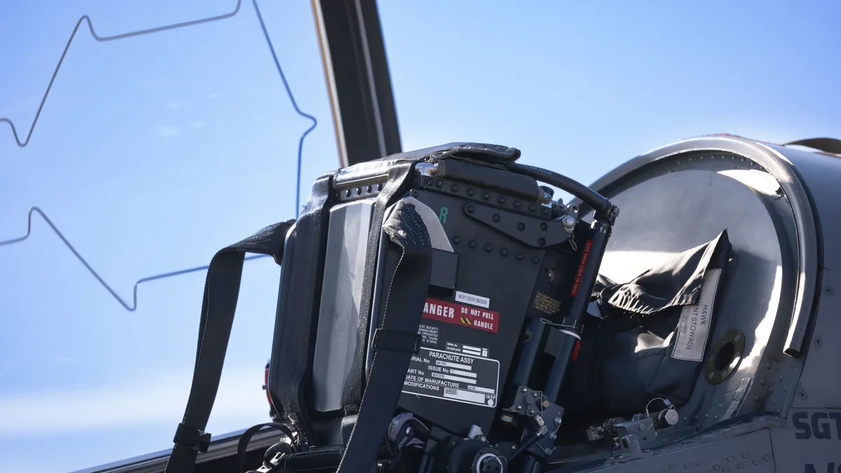
FAA Proposes Relaxing Oxygen Mask Rules for Pilots
The FAA has proposed easing oxygen mask requirements for pilots operating pressurized aircraft under Parts 91 and 135, citing modern safety systems...
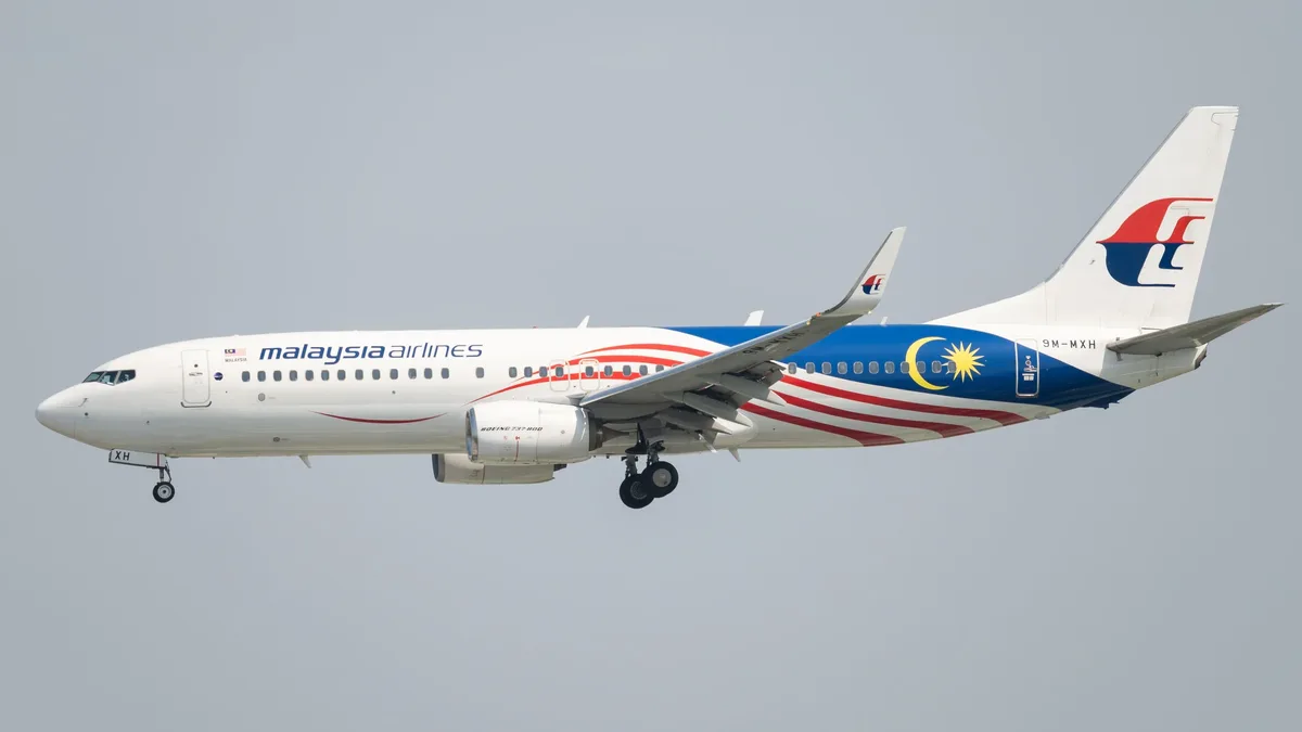
FAA Reviews Boeing 737 MAX Software Issue After Airlines
The FAA is reviewing a flight management computer software glitch on some Boeing 737 MAX jets, convening a safety board.
Garmin Autoland Approved for Pilatus PC-12 PRO
The FAA and EASA have certified Garmin's Safety Autoland system for the Pilatus PC-12 PRO turboprop, expanding the automated emergency landing...
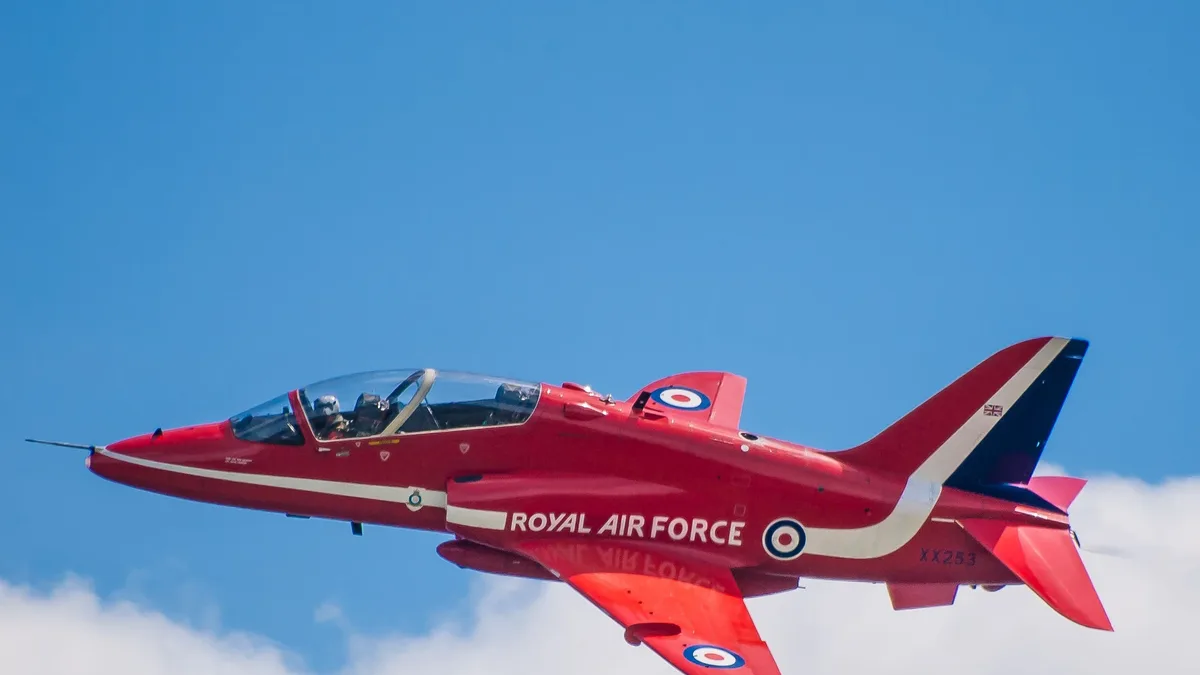
UK Royal Air Force forms first space effects
The UK has established No. III Space Effects Squadron, its first dedicated unit for offensive and defensive space operations, to disrupt and deny...
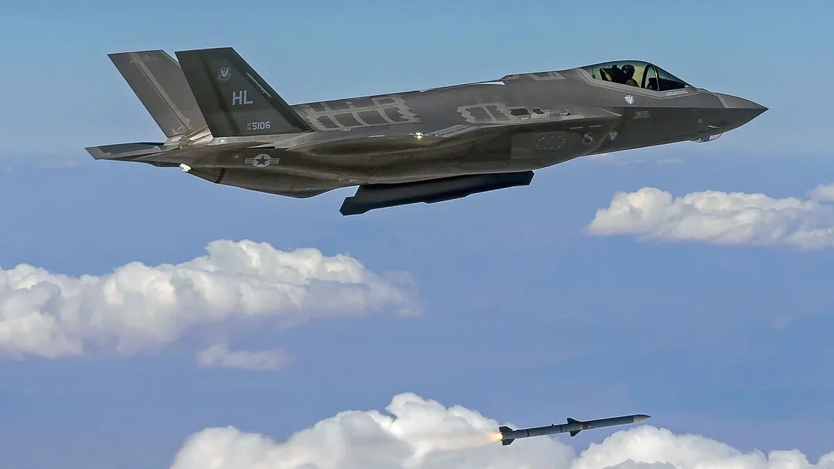
UK's F-35 Fleet Faces Cuts, Shifts to Drone-Carrier Strategy
The UK's plan for 138 F-35 jets is widely seen as dead, with a revised target of 75 by 2033. High costs and US reliability concerns are driving a...
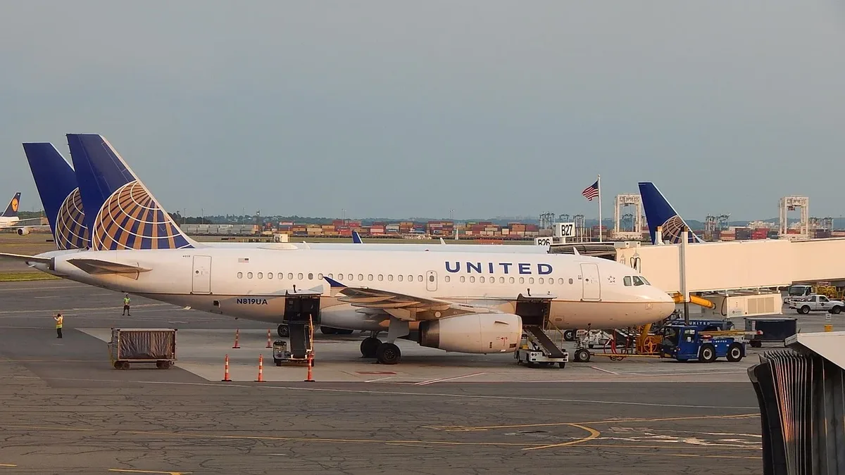
BermudAir Leases Embraer E190F for Cargo Expansion
BermudAir has leased an Embraer E190F freighter, marking its entry into dedicated cargo operations and the first deployment of this aircraft type in...