Drone Sightings And Airspace Disruption
| Original use | Aviation safety and airspace management |
|---|---|
| First created | Late 20th century (century precision) |
| Primary data source | Pilot and air traffic controller reports |
| Report classification | Confirmed, unconfirmed, or false |
| Typical disruption | Flight diversions or ground stops |
| Legal framework | National aviation regulations |
| Key stakeholders | Pilots, air traffic controllers, law enforcement, drone operators |
Origin and history
The phenomenon of drone sightings causing significant airspace disruption is a product of the early 21st century, coinciding with the widespread consumer availability of small unmanned aerial systems. Its emergence as a formal concern for aviation authorities is most documented in the 2010s, particularly in North America and Europe. Initial incidents were often treated as curiosities or minor nuisances, but their frequency and potential severity rapidly became apparent. The first major regulatory responses and official reporting frameworks began to be established in that decade as the technology proliferated. This issue is inherently global, with no single country of origin, as it arose simultaneously wherever drone technology met dense air traffic. Its history is defined by a reactive evolution of policies attempting to catch up with the pace of technological adoption and misuse.
What it is for
Drone sightings and airspace disruption serves as a critical risk category within aviation safety management systems, designed to identify, assess, and mitigate threats from unauthorized or errant unmanned aircraft. Its primary function is to protect manned aviation, including commercial airliners, general aviation, and emergency service helicopters, from potential collisions or hazardous encounters. The system exists to trigger specific operational protocols, such as ground stops, diversions, or airspace closures, to preserve safety when a potential conflict is reported. It also feeds data into longer-term regulatory processes, informing the development of geofencing, remote identification standards, and enforcement strategies. Furthermore, it provides a formal channel for pilots, air traffic controllers, and the public to report sightings, creating an essential dataset for analysis. Ultimately, its purpose is to manage the novel risk layer that consumer drones have introduced into historically secure controlled airspace.
Overview
Drone sightings and airspace disruption refers to the entire ecosystem of reporting, analysis, and response protocols activated when an unmanned aircraft is detected or suspected in a location that compromises aviation safety. The core of the system involves pilots reporting visual sightings or sensor contacts to air traffic control, who then must evaluate the threat level and initiate appropriate actions. These actions can range from issuing alerts to nearby traffic to coordinating with law enforcement and, in severe cases, halting all arrivals and departures at an airport. The disruption extends beyond immediate safety to encompass significant economic and logistical impacts, including delayed flights, cancelled operations, and fuel waste. National aviation authorities typically maintain databases of these incidents to track trends, such as common locations or types of drones involved. The system operates within a legal framework that often struggles to balance innovation, privacy, and enforcement against rapidly evolving technology.
What to know
It is crucial to understand that the risk stems not only from malicious intent but often from ignorance or negligence by drone operators unaware of airspace rules. The closure of a major airport's runways following a confirmed sighting can strand thousands of passengers and cost millions in economic impact within minutes. Most national regulations prohibit drone flight near airports, above certain altitudes, or over populated areas without specific permissions, but enforcement remains a significant challenge. The term "sighting" can include anything from a confident visual identification by a pilot to an unverified radar return, leading to difficult real-time risk assessments. Technological countermeasures, such as drone detection and mitigation systems, are being deployed at critical infrastructure but are expensive and raise their own legal and spectral interference issues. The onus is ultimately on the licensed drone operator to know and obey the airspace classifications and restrictions that apply to their flight, as ignorance is not considered a valid defense following an incident.
Common questions
A common question is what exactly happens at an airport when a drone is spotted, which typically involves an immediate safety pause, an investigation by airport operations and law enforcement, and a resumption of traffic only when the threat is cleared. People often ask about the likelihood of a collision, where the risk is considered low for catastrophic failure but high for damaging strikes that could force an emergency landing, particularly for helicopters or during takeoff and landing phases. Many inquire about how to report a drone, which can usually be done through aviation authorities, local law enforcement, or dedicated hotlines, providing as much detail on location, time, and drone description as possible. A frequent question concerns the legality of shooting down a drone, which is almost universally illegal for private citizens due to dangers from falling debris and laws governing firearms and aviation safety. Operators often ask if their small drone is really a threat, to which the answer is that even a lightweight device can cause critical damage if ingested into a jet engine or smashes a cockpit windshield. There is also recurring confusion over where drones can legally fly, necessitating reference to official airspace maps and apps provided by aviation regulators.
Pros and cons
A significant pro of the current system is that it places safety as the absolute priority, erring on the side of caution to protect human life even at great economic cost. It has also accelerated the development and integration of unmanned traffic management concepts and remote identification technologies. The cons, however, are substantial; the system is inherently reactive, causing massive, costly disruptions based on sightings that are sometimes unconfirmed or of benign drones far from actual flight paths. A common mistake by authorities is the inability to quickly discriminate between a high-risk and low-risk incident, leading to overuse of the most severe measures which the public and industry then begin to question. Many airport operators regret the financial and operational burden of responding to frequent false alarms or non-threatening violations. The system also creates a persistent vulnerability, as it relies heavily on human observation and reporting, leaving gaps that a determined bad actor could exploit. Furthermore, it fosters an adversarial relationship between the aviation community and responsible drone operators, who feel penalized by the actions of a reckless few.
Who it suits
This system of response and management suits aviation safety purists and risk-averse regulators for whom any potential threat to manned aircraft is unacceptable and must be met with maximum precaution. It suits major airports and airlines in high-density airspace, where the consequences of a collision are so catastrophic that any disruption is a justifiable cost. The framework does not suit regional airports or general aviation pilots with fewer resources, for whom a prolonged closure can be financially crippling based on a single unverified report. It is poorly suited to the model of rapid, innovative drone delivery services, which require predictable and resilient airspace access not easily compatible with today's disruption protocols. The current system also does not suit responsible hobbyist and commercial drone users who operate legally but face broad brush restrictions and public backlash due to the actions of others. Ultimately, it is a system designed for and by the traditional manned aviation ecosystem, struggling to adapt to a new era of integrated, but not yet fully integrated, air traffic.
Latest Drone Sightings And Airspace Disruption news
Latest reporting
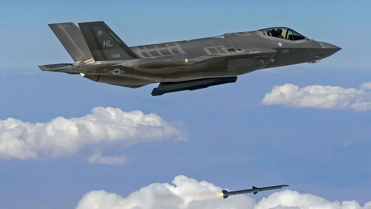
UK's F-35 Fleet Faces Cuts, Shifts to Drone-Carrier Strategy
The UK's plan for 138 F-35 jets is widely seen as dead, with a revised target of 75 by 2033. High costs and US reliability concerns are driving a...
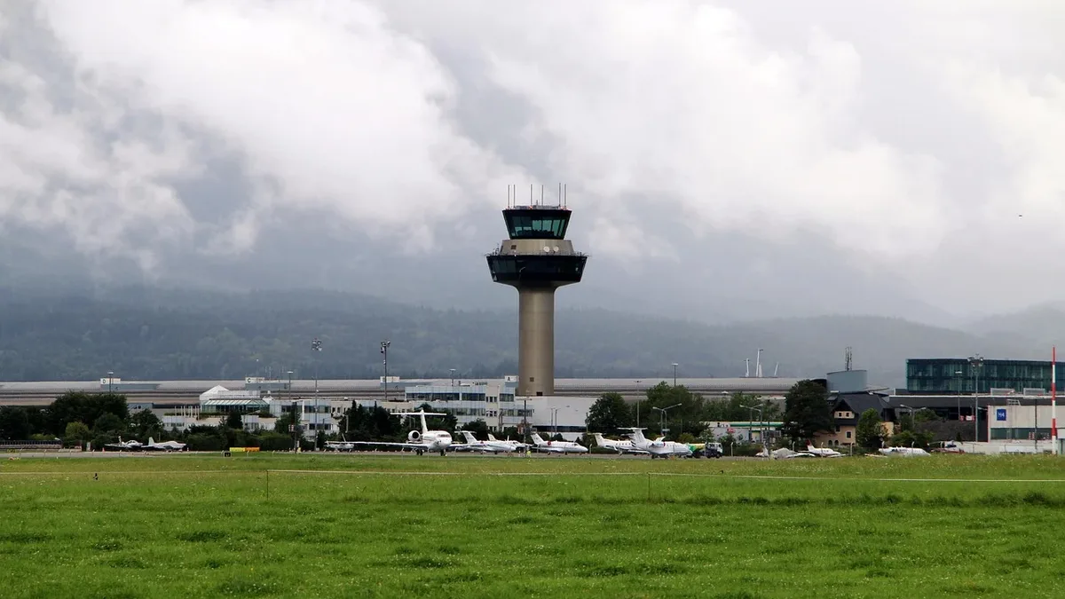
UK Air Traffic Control Failure Grounds Heathrow, Gatwick
A technical failure in National Air Traffic Services' flight processing system caused major disruption across UK airports, leading to widespread...
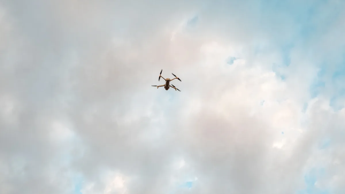
Drone and Balloon Ground 400+ San Diego Flights
A drone and a stratospheric test balloon disrupted operations at San Diego International Airport, causing a ground stop and delaying over 400 flights.
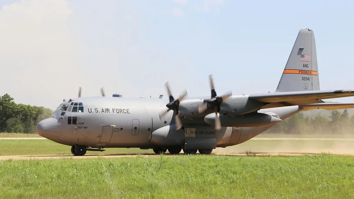
FAA Proposes Permanent Airspace Restriction
The FAA has proposed a permanent Special Flight Rules Area around former President Trump's Mar-a-Lago residence in Florida, a rare move requested by...
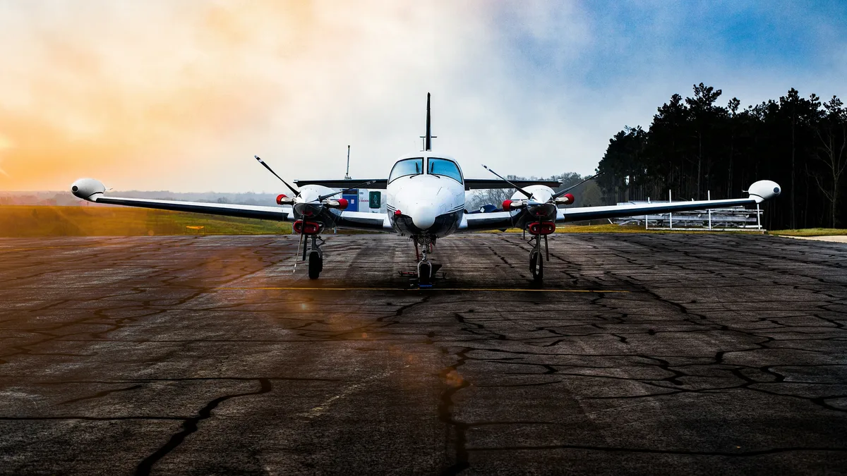
Rheinmetall LUNA NG drone approved
Germany's military aviation authority has granted provisional airworthiness certification to the Rheinmetall LUNA NG unmanned reconnaissance system
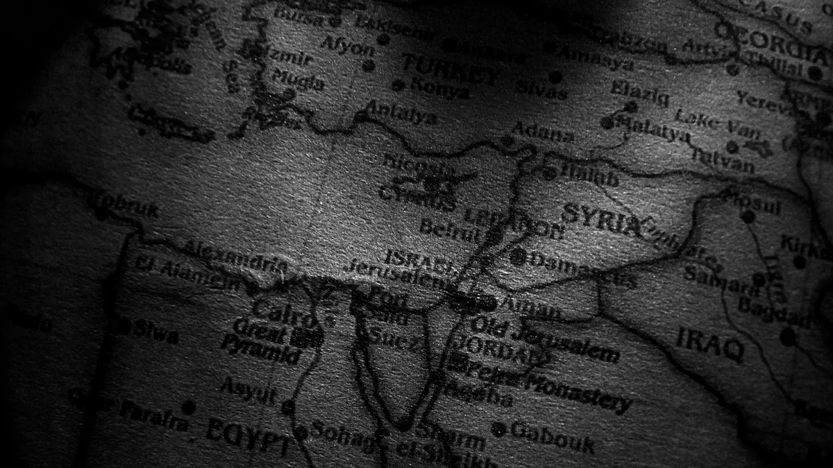
EASA eases Jordan, Lebanon airspace warnings
The European Union Aviation Safety Agency eased its airspace warnings for Jordan and Lebanon on August 31, 2026, the same day Jordan's military...